Wandelgidsen - Lowlands | Schotse Laaglanden en grenzen
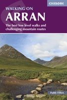 Wandelgids Walking on Arran | Cicerone
Uitstekende wandelgids voor dit uitdagende wandelgebied in Schotland. Dagtochten. The 45 walking routes in this Isle of Arran guidebook range from easy 3km (2 miles) nature trails to long arduous …
 Wandelgids Pentland Hills | Cicerone
 Wandelgids 088 Pathfinder Guides Scottish Borders | Ordnance Survey
Pathfinder® Guide to the Scottish Borders, featuring 28 outstanding walks designed for a range of abilities covering 170 miles of walking. Features: 28 guided walks for a range …
 Wandelgids Weekend Walks Angus And Dundee | Pocket Mountains
Angus is the historical heartland of Scotland, a county where the past has left an indelible mark on the present. Prehistoric forts, ancient castles and Pictish standing stones dot a …
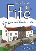 Wandelgids Weekend Walks Kingdom of Fife | Pocket Mountains
Following on from the new "Pocket Mountains Town and Country" series of shorter walks, this guidebook explores the stunning coast and countryside of the Kingdom of Fife.Featured here you'll find …
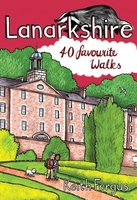 Wandelgids Weekend Walks Lanarkshire | Pocket Mountains
Lanarkshire is home to one of only 4 UNESCO World Heritage Sites in Scotland as well as birth place of Sir Matt Busby and Jock Stein. This books has 40 …
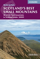 Wandelgids Scotland's Best Small Mountains | Cicerone
A guidebook to 40 of the best small mountains in Scotland under 3000ft. Explore the beautiful scenery of Sutherland and the far north, Torridon, Lochaber, the Great Glen, the Cairngorms, …
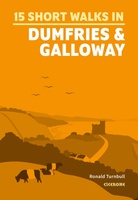 Wandelgids 15 Short Walks Dumfries and Galloway | Cicerone
Ronald Turnbull has chosen 15 of the best short walks around Dumfries and Galloway for you to explore. Our guide comes with easy-to-read Ordnance Survey maps and clear route descriptions, …
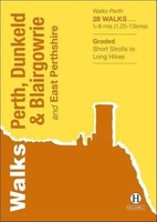 Wandelgids Perth, Dunkeld & Blairgowrie | Hallewell Publications
Walks Perth, Dunkeld & Blairgowrie (previously published as Walks East Perthshire) has been completely rewalked and revised. The guide covers the eastern part of the county of Perthshire, with a …
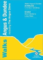 Wandelgids Angus | Hallewell Publications
This guide covers the old county of Angus: from the cliffs and beaches of the coast, through the wide farmland of Strathmore to the fine hill paths of the Angus …
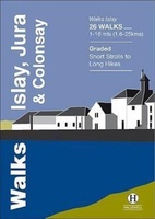 Wandelgids Islay, Jura & Colonsay | Hallewell Publications
Walks Islay, Jura & Colonsay features walks on the three inner Hebridean islands. Each island has it's own distinct character and the 26 walks featured give a good feel for …
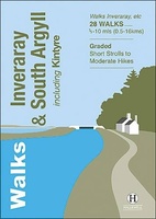 Wandelgids Inveraray & South Argyll : Including Kintyre | Hallewell Publications
Rewalked and updated in 2022, 'Walks Inveraray & South Argyll including Kintyre' covers the stretch of Scotland's west coast from Ardfern in the north to the Mull of Kintyre in …
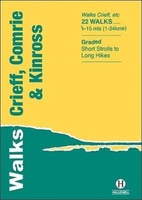 Wandelgids Crieff, Comrie & Kinross | Hallewell Publications
Walks Crieff, Comrie & Kinross includes walks in the south Perthshire hills, around Loch Earn and Loch Tay, and the Ochils, as well as the path network around Crieff. The …
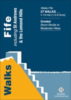 Wandelgids Fife | Hallewell Publications
Rewalked and updated in 2021, Walks Fife including St Andrews & the Lomond Hills covers the county of Fife, which lies between the estuaries of the Rivers Forth and Tay. …
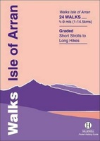 Wandelgids Isle of Arran | Hallewell Publications
Rewalked and updated in 2015, Walks Isle of Arran features 24 walks on the mountainous island of Arran in the Firth of Clyde. Known as `Scotland in miniature', the island …
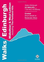 Wandelgids Edinburgh, Midlothian and West Lothian | Hallewell Publications
Rewalked and updated in 2021, Walks Edinburgh, Midlothian & West Lothian including The Pentland Hills features walks in and around Scotland's capital city. The guide covers the city of Edinburgh, …
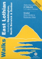 Wandelgids East Lothian | Hallewell Publications
Rewalked and updated in 2017, Walks East Lothian including Haddington, North Berwick & Dunbar covers the county of East Lothian, which lies to the east of Edinburgh. Walks include a …
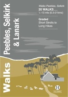 Wandelgids Peebles, Selkirk & Lanark | Hallewell Publications
The latest in this popular series of pocket walking guides, including routes around the towns of Peebles, Selkirk and Lanark in the Scottish Borders. This guide covers the old counties …
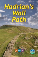 Wandelgids Hadrian's Wall path | Rucksack Readers
Uitgevoerd in de vorm van een klapper, met ringband geeft deze gids een goede beschrijving van de lange afstands route. De kaarten zijn schetsmatig maar wel duidelijk. Hadrian's Wall …
★★★★★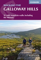 Wandelgids Walking the Galloway Hills | Cicerone
Uitstekende wandelgids van galloway! This guide covers 35 day walks and one long-distance route in the wild and remote hills of Galloway. Although there are some shorter and easier …
Laatste reviews

Deze kaarten gebruik ik om mooie wandelingen uit te zetten, die ik dan met mijn liefste meisje beloop. Dank u wel voor de snelle adequate …
★★★★★ door Jacques Marks 03 december 2024 | Heeft dit artikel gekocht
Ook ik ben een zwerver, maar gelukkig niet dakloos. Deze kaarten gebruik ik om mooie wandelingen uit te zetten, die ik dan met mijn liefste …
★★★★★ door Jacques Marks 03 december 2024 | Heeft dit artikel gekocht
Perfect👍
★★★★★ door Wilma & Mari 03 december 2024 | Heeft dit artikel gekocht
Vooralsnog ben ik tevreden met de kaart. Hij werd vlot bezorgd en ik kan hem goed lezen. De echte proof of the pudding vindt echter …
★★★★★ door Jan Piebe Tjepkema 03 december 2024 | Heeft dit artikel gekocht