Wandelgidsen - Schotse Hooglanden & Speyside
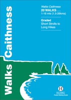 Wandelgids Walks Caithness | Hallewell Publications
This guide covers the old county of Caithness: and area of low-lying moorland and spectacular cliffs in the far north-east of the Scottish mainland. Walks range from 1 mile to …
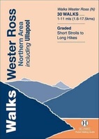 Wandelgids Walks Wester Ross Northern Area | Hallewell Publications
This guide features walks in the northern part of Wester Ross, from the Coigach peninsula in the north to the northern end of Loch Maree, including the villages of Ullapool …
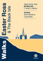 Wandelgids Walks Easter Ross and the Black Isle | Hallewell Publications
This guide includes coastal walks on the two large headlands north of Inverness and routes through the hills and broad straths to the west. Walks range from 0.5 miles to …
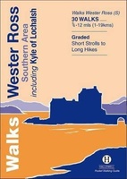 Wandelgids Walks Wester Ross Southern Area : Including Kyle of Lochalsh | Hallewell Publications
This guide features walks in the southern part of Wester Ross, in the area between Torridon in the north and Glenelg in the south. Walks range from 0.75 mile to …
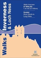 Wandelgids Walks Inverness and Loch Ness | Hallewell Publications
This guide includes walks near the city of Inverness, in the hills around Loch Ness and in the glens to the north. Walks range from 0.25 miles to 25 miles …
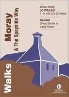 Wandelgids Walks Moray and the Speyside Way | Hallewell Publications
This guide covers the county of Moray in north-east Scotland – famous for its whisky distilleries. Includes coastal walks and hill routes in the northern Cairngorms. Walks range from 0.3 …
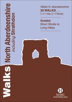 Wandelgids Walks North Aberdeenshire | Hallewell Publications
This guide covers hilly Strathdon and the farmland north of Aberdeen, plus the cliffs, beaches and fishing villages of the north-east coast. Walks range from 0.5 miles to 11 miles …
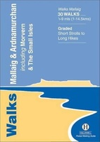 Wandelgids Walks Mallaig and Ardnamurchan | Hallewell Publications
This guide covers the vast and spectacular west of Lochaber, and includes moorland walks, hill climbs, beach walks as well as walks on the Small Isles and Knoydart. Walks range …
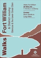 Wandelgids Walks Fort William and District | Hallewell Publications
Including Glencoe and the lower Great Glen, this guide covers the mountainous district of central Lochaber, including Britain’s highest peak – Ben Nevis – and the dramatic scenery around Glen …
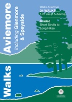 Wandelgids Walks Aviemore : Including Glenmore & Speyside | Hallewell Publications
This guide covers an upper stretch of the Spey Valley, from Grantown-on-Spey in the north to Newtonmore in the south. The main walking centres are Aviemore and Glenmore; the bulk …
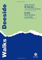 Wandelgids Deeside | Hallewell Publications
This guide covers the walks around Royal Deeside: Banchory, Aboyne, Ballater and Braemar, as well as Balmoral. Routes include climbs in the Cairngorm National Park, hill paths around Loch Muick …
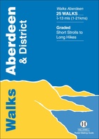 Wandelgids Aberdeen and District | Hallewell Publications
Walks Aberdeen & District covers the city of Aberdeen and the surrounding coast and countryside. Most of the walks are fairly gentle, though there are some fine hill walks on …
 Wandelgids Isle of Mull, Coll and Tiree | Hallewell Publications
Rewalked and revised in 2015, Walks Isle of Mull, Coll & Tiree including Iona & Ulva includes walks on the Inner Hebridean island of Mull and the nearby islands. Mull …
 Wandelgids Oban and North Argyll | Hallewell Publications
Rewalked and updated in 2018, Walks Oban & North Argyll covers the area around the popular coastal town of Oban, the offshore islands which can be reached from the town, …
 Wandelgids Pitlochry, Aberfeldy & North Perthshire | Hallewell Publications
Walks Pitlochry, Aberfeldy & North Perthshire covers the northern part of the county of Perthshire: from the wilderness of Rannoch Moor to the popular holiday town of Pitlochry. Formerly published …
 Wandelgids Perth, Dunkeld & Blairgowrie | Hallewell Publications
Walks Perth, Dunkeld & Blairgowrie (previously published as Walks East Perthshire) has been completely rewalked and revised. The guide covers the eastern part of the county of Perthshire, with a …
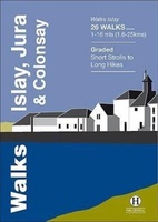 Wandelgids Islay, Jura & Colonsay | Hallewell Publications
Walks Islay, Jura & Colonsay features walks on the three inner Hebridean islands. Each island has it's own distinct character and the 26 walks featured give a good feel for …
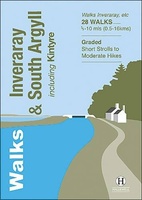 Wandelgids Inveraray & South Argyll : Including Kintyre | Hallewell Publications
Rewalked and updated in 2022, 'Walks Inveraray & South Argyll including Kintyre' covers the stretch of Scotland's west coast from Ardfern in the north to the Mull of Kintyre in …
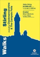 Wandelgids Stirling : Including Clackmannanshire & the Campsie Fells | Hallewell Publications
Rewalked and revised in 2021, Walks Stirling (a new edition of our previous guide to Stirling & District) features 24 walks, and now covers the Campsie Fells as well as …
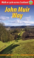 Wandelgids John Muir Way | Rucksack Readers
The John Muir Way runs for 134 miles (215 km) coast-to-coast across central Scotland, from Helensburgh on the Clyde to Dunbar on the North Sea. The route is as suitable …
Laatste reviews

Heb de gids cadeau gedaan en die persoon was er heel blij mee ..
★★★★★ door J 21 november 2024 | Heeft dit artikel gekocht
De kaart van Kirgystan is prachtig, zeer gedetailleerd. Kan niet wachten tot de we echt op reis hmgaan die kant op.
★★★★★ door Marijke Eering 21 november 2024 | Heeft dit artikel gekocht
Super handig fiets boekje en mooi water bestendig. En handig om op de kaarten te kijken heel duidelijk beschrijving. Wij fietsen al jaren in Duitsland …
★★★★★ door Jenneke holterman 19 november 2024 | Heeft dit artikel gekocht
prima kaart levering en betaling allemaal vlot verlopen
★★★★★ door Marc Buts 19 november 2024 | Heeft dit artikel gekocht