Kaarten - Schotland
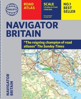 Wegenatlas Navigator Britain - Engeland en Schotland 1:100.000 | Philip's Maps
Bijzonder gedetaileerde wegenatlas van Engeland en Schotland op schaal 1:100.000 (met het noorden van Schotland 1:200.000). Alle wegen, bezienswaardigheden, National Trails, campings ... noem maar op en je vindt het …
★★★★★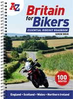 Wegenatlas Britain for Bikers | Voor Motoren | A-Z Map Company
Discover the best biking routes around Great Britain and Northern Ireland. Your essential rideout roadbook covering the best biking routes around Great Britain and Northern Ireland, including short trips and …
 Spoorwegenkaart Schotland - Scotland Central and South Rail and Road | ITMB
Een degelijke kaart met aanduidingen van o.a. spoorlijnen, nationale parken, vliegveld, benzinepomp, dirt-roads en kleine plattegrond van hoofdstad. Als overzichtskaart goed te gebruiken. This is another new ITMB title and …
★★★★★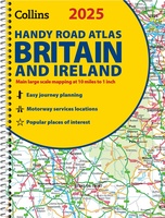 Wegenatlas 2025 Collins Handy Road Atlas Britain and Ireland | Collins
Handzame A5 wegenatlas van Engeland, Wales, Schotland en Ierland met register en stadsplattegronden This easy-to-use, handy A5 sized road atlas with popular lie-flat spiral binding features extremely clear route planning …
★★★★★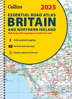 Wegenatlas Essential Road Atlas Britain 2025 | A4 | Ringband | Collins
This A4 road atlas with lie-flat spiral binding provides clear and detailed road mapping for England, Wales and Southern Scotland at a scale of 3.2 miles to 1 inch (1:200,000). …
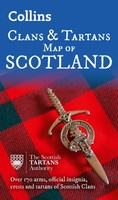 Historische Kaart Scotland Clans and Tartans Map | Collins
Prachtige kaart van Schotland waarin duideljk wordt welke cland er zijn geweest en nog zijn. Met een mooi overzicht van alle Tartans (Stoffen) die er aan gekoppeld zijn. Discover …
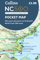 Wegenkaart - landkaart Pocket Map NC500 | Collins
Handy little full colour map of the popular North Coast 500 route. A perfect guide for travelling around Northern Scotland. Detailed mapping and tourist information ideal for any road trip. …
★★★★★ Wegenkaart - landkaart Planning Map Scotland - Schotland | Lonely Planet
Durable and waterproof, with a handy slipcase and an easy-fold format, Lonely Planet's Scotland Planning Map helps you get around with ease. Get more from your map and your …
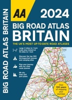 Wegenatlas Big Road Atlas Britain 2025 - A3 | Ringband | AA Publishing
This best-selling A3 format atlas is available in two binding styles; paperback and spiral bound. Up-to-date mapping from the experts at the AA this atlas has large 3 miles to …
★★★★★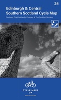 Fietskaart 24 Cycle Maps UK Edinburgh - Central Southern Scotland | Cordee
Een nieuwe fietskaarten serie van Groot-Brittannië. Gedrukt op scheur- en watervast papier en mooi handzaam klein formaat. Deze kaarten zijn met name heel goed om de Lange Afstands Fietsroutes (LF) …
★★★★★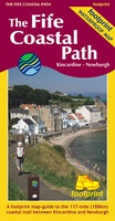 Wandelkaart The Fife Coastal Path | Footprint maps
A handy, waterproof map breaking down the Fife Pilgrim Way into seven sections. The Fife Pilgrim Way runs between North Queensferry or Culross and St Andrews. It is designed as …
 Wandelkaart Cairn Gorm | Harvey Maps
Includes 18 Munros of which 5 over 4000' (Cairn Gorm, Ben Macdui, Cairn Toul, Braeriach & Sgor an Loachain Uaine) and 3 Corbetts. Detailed map for hillwalkers of the …
 Wegenkaart - landkaart 3326 Adventure Map Scotland - Schotland | National Geographic
Wegenkaart van Schotland met vermelding van veel bezienswaardigheden, nationale parken en attrakties. Watervast en scheurvast. Juist door deze vermeldingen onderscheidt de kaart zich van andere wegenkaarten. National Geographic's Scotland AdventureMapis …
★★★★★★★★★★ Wegenkaart - landkaart Groot - Brittannië | Borch
Mooie geplasticieerde kaart van Groot - Brittanië. Deze kaart biedt een goed overzicht van het land met detailkaarten. Our soft-laminated folded map of Great Britain shows: Scotland and Northern …
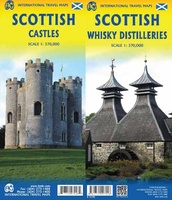 Wegenkaart - landkaart Scottisch Castles & Whisky Distilleries | ITMB
Een speciale versie van de ITMB wegenkaart van Schotland, naast de gebruikelijke aanduidingen van o.a. nationale parken en vliegvelden worden ook kastelen en whisky distilleerderijen op de kaart weergegeven. What …
 Wegenkaart - landkaart Scotland - Schotland | ITMB
Anyone who has been in this business for a few years remembers Ordnance Survey and their brilliantly detailed artwork. They should also remember that OS guarded this artwork religiously. That …
★★★★★ Wandelkaart Affric Kintail Way | Harvey Maps
Mooie, duidelijke kaart van de Affric Kintail way in Schotland. Geplastificeerd met veel extra informatie en uitsnedes van de route. De hele rote op 1 kaart, erg handig! The Affric …
★★★★★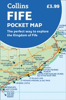 Wegenkaart - landkaart Pocket Map Fife | Collins
Handy little full colour map of the coastal Kingdom of Fife. Detailed mapping and tourist information from Dundee in the North to Edinburgh in the south and from Fife coast …
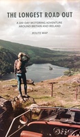 Wegenkaart - landkaart Routemap The Longest Road Out | Longestroadout
Deze kaart hoort bij het boek The Longest Road Out
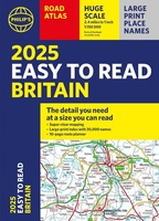 Wegenatlas Easy to Read Road Atlas Britain 2025 | Philip's Maps
"The detail you need at a size you can read". The latest 2025 Philip's Easy to Read Road Atlas of Britain from the best-selling Road Atlas range has over 350 …
★★★★★
Laatste reviews

Uitgebreide en zeer overzichtelijke kaart, bijna alles staat erop. Handig formaat en past mooi bij de aangeschafte gids.
★★★★★ door Toon Meesters 02 januari 2025 | Heeft dit artikel gekocht
Wil komende zomer naar dit schiereiland. Dit boek heeft ons nog enthousiaster gemaakt. Zeer informatief en volledig en toch in handig formaat
★★★★★ door Toon Meesters 02 januari 2025 | Heeft dit artikel gekocht
Goede omschrijving van producten, Duidelijke website en zoekmachine Snelle levering Zeer tevreden
★★★★★ door Paul Out 02 januari 2025 | Heeft dit artikel gekocht
Pakket is met de feestdagen snel en netjes verzonden. Is precies de landkaart die we zochten. Erg tevreden
★★★★★ door Marieke 01 januari 2025 | Heeft dit artikel gekocht

