Boeken - ♦ Northumberland National Park
 Wandelgids The Pennine Way | Cicerone
Uitstekende wandelgids van de Pennine Way, waarbij naast alle noodzakelijke informatie ook gebruik gemaakt wordt van de echte topografische kaart. inclusief gidsje met routekaarten van 1:25000 Guidebook to the Pennine …
 Wandelgids St Oswald's Way and St Cuthbert's Way | Cicerone
Uitstekende wandelgids die in etappes de route nauwkeurig beschrijft. This guide describes two long-distance trails through the unspoilt scenery of Northumberland and the Borders. St Oswald's Way begins at Heavenfield …
 Reisverhaal Dwars door Engeland | Martijn Van Rijsbergen
We willen een reis maken. Mijn Vriendin en ik. Op avontuur. We kunnen de hele wereld kiezen, het wordt Groot-Brittannië. Een verslag van een reis over één van de oudste, …
 Wandelgids Park Rangers Favourite Walks Northumberland | Collins
The perfect companions for exploring the National Parks. Walking guide to the Northumberland National Park, with 20 best routes chosen by the park rangers. Each walk varies in length from …
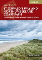 Wandelgids St Oswald's Way and Northumberland Coast Path | Cicerone
This guidebook describes the St Oswald's Way and Northumberland Coast Paths, both long-distance trails through Northumberland. St Oswald's Way (156km, 97 miles) begins in Heavenfield and traverses parts of Northumberland …
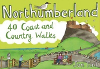
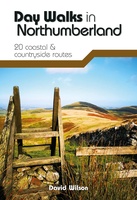 Wandelgids Day Walks in Northumberland | Vertebrate Publishing
Day Walks in Northumberlandfeatures 20 routes between 7.6 and 14.5 miles (12.2km and 23.3km) in length, spread across the coast and the countryside of Northumberland and suitable for hillwalkers of …
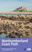 Wandelgids Northumberland Coast Path | Aurum Press
Goede beschrijving van de aantrekkelijke route. Kaartmateriaal van Ordnance Survey - de Engelse topografische dienst op een schaal van 1:25.000. Praktische info voor overnachten ed. niet altijd uitgebreid, maar die …
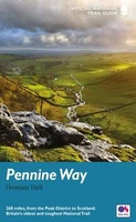
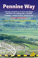 Wandelgids Pennine Way | Trailblazer Guides
Trailblazer British Walking Guide to the Pennine Way, Britain's best-known National Trail that winds for 256 miles through three National Parks - the Peak District, Yorkshire Dales and Northumberland. This …
★★★★★★★★★★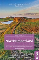 Reisgids Slow Travel Northumberland | Bradt Travel Guides
Een bijzondere serie van Bradt guides, waarin een gedeelte van Engeland of Schotland uitgebreid beschreven wordt. Met veel aandacht voor kleine details die je niet al gauw elders zult vinden. …
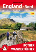 Wandelgids England Nord - Engeland Noord | Rother Bergverlag
Uitstekende wandelgids met 60 dagtochten. Met praktische informatie en beperkt kaartmateriaal! Wandelingen in verschillende zwaarte weergegeven in rood/blauw/zwart. Deze wandelgidsen uitgever staat hoog aangeschreven en is een begrip onder de …
 Wandelgids Pennine Way | Aurum Press
Goede beschrijving van de aantrekkelijke route. Kaartmateriaal van Ordnance Survey - de Engelse topografische dienst op een schaal van 1:25.000. Praktische info voor overnachten ed. niet altijd uitgebreid, maar die …
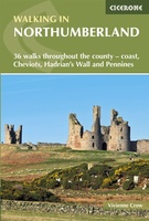 Wandelgids Walking in Northumberland | Cicerone
De wandelgidsen van Cicerone zijn toonaangevend als het gaat om kwaliteit en de hoeveelheid verschillende bestemmingen. De routes zijn helder en duidelijk beschreven, kaartmateriaal is veelal van de topografische dienst …
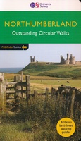 Wandelgids 87 Pathfinder Guides Northumberland | Ordnance Survey
Pathfinder® Guide to Northumberland, featuring 28 outstanding walks designed for a range of abilities covering 180 miles of walking. Features: 28 guided walks for a range of abilities …
 Wandelgids Weekend Walks Northumberland | Pocket Mountains
Northumberland is England's most northern county, a magical place filled with ancient castles, golden sand beaches, rolling hills, rugged moorland and friendly little Northumberland towns and villages. This much-awaited …
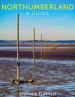 Reisgids Northumberland | Sacristy Press
Northumberland, one of the most sparsely-populated counties in England, with unique features like the Holy Island of Lindisfarne and Hadrian’s Wall, was also a crucible of European civilization and remains …
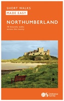 Wandelgids Northumberland | Ordnance Survey
Explore the castles and coast of Northumberland from Dunstanburgh to Hadrian’s Wall with ten walks suitable for all ages and abilities. Discover England’s most northerly county from the North Sea …
Laatste reviews

Duidelijke kaart, ook met kleinere wegen. Snelle levering
★★★★★ door Ger Sulkers 02 mei 2024 | Heeft dit artikel gekocht
Ja wij zijn tevreden, alleen is mijn vriendin het boekje al kwijtgeraakt bij onze eerste wandeling.🙁
★★★★★ door Mark 02 mei 2024 | Heeft dit artikel gekocht
Ja ik ben dik tevreden over de wegenkaart van Kazachstan. Stond alles op wat ik wou dus heel erg tevreden daarover.
★★★★★ door Sjoerd Westra 02 mei 2024 | Heeft dit artikel gekocht
Zoals altijd mooie verzorgde kaarten die tijdens de reis van pas komen en achteraf mooie herinneringen oproepen.
★★★★★ door Klaas Wijnberg 02 mei 2024 | Heeft dit artikel gekocht