Kaarten - Engeland
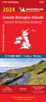 Wegenkaart - landkaart 713 Groot-Brittannië & Ierland 2024 Great Britain | Michelin
Zoals je van Michelin mag verwachten is deze kaart zeer overzichtelijk en heeft een duidelijk helder kaartbeeld. De kaart geeft uitgebreid toeristische informatie weer. Met stadsplattegrond van de hoofdstad. This …
★★★★★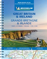 Wegenatlas Great Britain and Ireland 2024 - Main Roads Atlas (A4-Spiral) | Michelin
Full of practical features, the Michelin Great Britain & Ireland 2024 - Main Roads Atlas (A4-Spiral) is the perfect companion for your everyday journey and holiday planning. Updated every year, …
★★★★★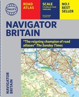 Wegenatlas Navigator Britain - Engeland en Schotland 1:100.000 | Philip's Maps
Bijzonder gedetaileerde wegenatlas van Engeland en Schotland op schaal 1:100.000 (met het noorden van Schotland 1:200.000). Alle wegen, bezienswaardigheden, National Trails, campings ... noem maar op en je vindt het …
★★★★★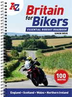 Wegenatlas Britain for Bikers | Voor Motoren | A-Z Map Company
Discover the best biking routes around Great Britain and Northern Ireland. Your essential rideout roadbook covering the best biking routes around Great Britain and Northern Ireland, including short trips and …
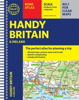 Wegenatlas Handy Road Atlas Britain A5-Formaat | Philip's Maps
"The perfect atlas for planning a trip anywhere in the UK and Ireland"The essential handy road atlas for planning a trip in Britain and Ireland. Keep it in the glove …
 Wegenkaart - landkaart Routemap The Longest Road Out | Longestroadout
Deze kaart hoort bij het boek The Longest Road Out
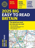
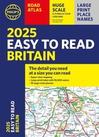 Wegenatlas Easy to Read Road Atlas Britain 2025 | Philip's Maps
"The detail you need at a size you can read". The latest 2025 Philip's Easy to Read Road Atlas of Britain from the best-selling Road Atlas range has over 350 …
★★★★★ Wegenkaart - landkaart Great Britain OS route | Ordnance Survey
Tweezijdige overzichtskaart van heel Engeland en Schotland. Goed duildelijk leesbaar kaartbeeld met de doorgaande en grotere wegen. Ook Nationsle Parken staan er goed op. Ordnance Survey's double-sided OS Route Map …
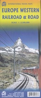 Spoorwegenkaart Europe Western Railroad & Road | ITMB
Spoorwegen kaart van West Europa in kleur. Schaal 1:2,500,000. Toont spoorlijnen, snelwegen, secundaire wegen en andere wegen, veerboten en belangrijke scheepvaartdiensten; internationale grenzen, de grenzen van de gebieden met reisbeperkingen; …
★★★★★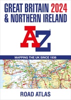 Wegenatlas Great Britain and Northern Ireland Road Atlas 2024 | A-Z Map Company
A full-colour, paperback road atlas of Great Britain, now fully revised and updated. Clear detailed road mapping at a scale of 3.5 miles to 1 inch. Presented in a large, …
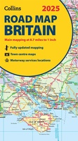 Wegenkaart - landkaart Road Map of Britain 2025 | Collins
Full-colour, double-sided road map of Great Britain at a scale of 8.7 miles to 1 inch. Northern England, Scotland and the Isle of Man are on one side with Southern …
 Wegenatlas Philip's Easy to Read Road Atlas of Britain 2025 | A3-Formaat | Paperback | Philip's Maps
With the detail you need at a size you can read, the latest edition of 2025 Philip's Big Easy to Read Road Atlas of Britain is super-clear, super-sized and bang …
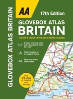 Wegenatlas AA Glovebox Atlas Britain | AA Publishing
This handy atlas fits in the glovebox of your car, perfect for quick referencing on the move. The clear mapping includes a range of essential motoring and useful touring information …
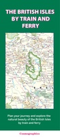 Spoorwegenkaart The British Isles by Train and Ferry | Cosmographics
Plan your journey and explore the British Isles by train and ferry. This attractive, detailed map shows how the rail network, along with ferries to the more isolated areas, allows …
 Wegenkaart - landkaart England & Wales - Engeland | ITMB
Een degelijke kaart met aanduidingen van o.a. nationale parken, vliegveld, benzinepompen. ITMB publishes a map of Great Britain, but each portion of GB needs its own map to show roads …
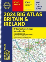 Wegenatlas Big Atlas Britain & Ireland 2023 A3-Formaat | Philip's Maps
Goede gedetailleerde wegenatlas van Groot-Brittannië, schaal 1:200.000 met een overzichtskaart van Ierland, schaal 1:1.000.000. Groot formaat, A3, en in ringband. Philip's is No. 1 in the UK for clear maps …
★★★★★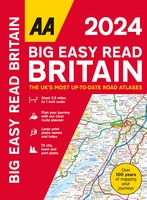 Wegenatlas Big Easy Read Britain 2024 | A3 | Ringband | AA Publishing
AA Publishing brings you the UK’s most up-to-date road atlases Over 100 years of mapping your journeys • Giant scale mapping at 2.5 miles to 1 inch = 1:25,000 • …
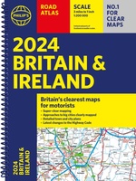 Wegenatlas Road Atlas Britain and Ireland 2024 | Philip's Maps
PHILIP'S - Market leaders and No. 1 in the UK for clear maps'Good balance between detail and clarity with excellent town maps' What Car? * Super-clear mapping at a scale …
★★★★★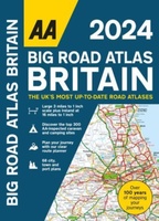 Wegenatlas Big Road Atlas Britain 2024 - A3 | Ringband | AA Publishing
This best-selling A3 format atlas is available two binding styles; softback and spiral bound. Each page has been titled with its geographical location so you can turn to the page …
★★★★★ Wegenatlas 2025 Collins Handy Road Atlas Britain and Ireland | Collins
Handzame A5 wegenatlas van Engeland, Wales, Schotland en Ierland met register en stadsplattegronden This easy-to-use, handy A5 sized road atlas with popular lie-flat spiral binding features extremely clear route planning …
★★★★★
Laatste reviews

Handig boekje in een handig formaat. Levering gebeurde sneller dan verwacht. Helemaal tevreden dus.
★★★★★ door Christophe Claessens 01 mei 2024 | Heeft dit artikel gekocht
De kaart was 12 jaar oud en nogal gedateerd. Ook stond er dat het een wandel en fietskaart was. De E4 lange afstands wandelroute stond …
★★★★★ door J Elings 01 mei 2024 | Heeft dit artikel gekocht
Ik ben zeer tevreden over mijn aankoop. Ik heb de kaarten elke dag van de vakantie gebruikt en ze waren voor mij duidelijk en waardevol. …
★★★★★ door Jeanne Melters 30 april 2024 | Heeft dit artikel gekocht
De kaart was bijzonder goed en zeer gedetaildeerd. Wij hebben er als wandelaars veel plezier van gehad. Ook met het rijden was de kaart , …
★★★★★ door Albert Abbink 30 april 2024 | Heeft dit artikel gekocht