Wandelgidsen - Europa
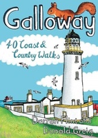 Wandelgids Galloway | Pocket Mountains
Handige compacte wandelgids met 40 dagwandelingen. Deze gids bevat kleine kaartjes en leuke uitgebreide informatie over wat er langs de route te zien is. Goede wandelkaarten zijn echter we noodzakelijk …
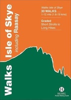 Wandelgids Walks Isle of Skye | Hallewell Publications
A guide to walks on the Isle of Skye and the small neighbouring island of Raasay. This guide includes hill climbs and coastal paths on the islands. Walks range from …
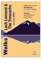 Wandelgids Walks Loch Lomond & The Trossachs | Hallewell Publications
The area covered by this guide (much of it now a National Park) is one of the most popular walking districts in Scotland, and its hills, lochs, glens and woodlands …
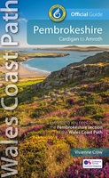 Wandelgids Wales Coast Path: Pembrokeshire | Northern Eye Books
Official Guide: Wales Coast Path: Pembrokeshire One of seven Official Guides to the Wales Coast Path The 186 mile/300km long Pembrokeshire section of the Wales Coast Path runs …
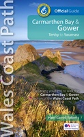 Wandelgids Wales Coast Path Carmarthen Bay & Gower | Northern Eye Books
Official Guide: Wales Coast Path: Carmarthen Bay & Gower One of seven Official Guides to the Wales Coast Path The Carmarthen Bay and Gower section of the Wales …
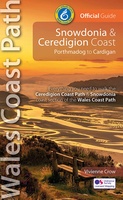 Wandelgids Wales Coast Path: Snowdonia and Ceredigion | Northern Eye Books
Official Guide: Wales Coast Path: Snowdonia & Ceredigion Coast One of seven Official Guides to the Wales Coast Path This Official Guide to the Snowdonia & Ceredigion Coast section of …
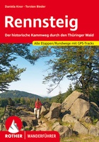 Wandelgids Rennsteig | Rother Bergverlag
Een geode beschrijving van de Rennsteig met alle etappes in tekst en op kaart. Rother heeft een hele goede naam als het gaat om nauwkeurigheid en mate van informatie. detaillierte …
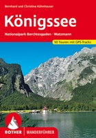 Wandelgids Königssee | Rother Bergverlag
Uitstekende wandelgids met een groot aantal dagtochten in dal en hooggebergte. Met praktische informatie en beperkt kaartmateriaal! Wandelingen in verschillende zwaarte weergegeven in rood/blauw/zwart. detaillierte Wanderkarten aussagekräftige Höhenprofile GPS-Tracks zum …
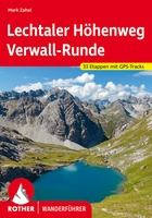 Wandelgids Lechtaler Höhenweg und Verwall-Runde | Rother Bergverlag
Uitstekende wandelgids met een groot aantal dagtochten in dal en hooggebergte. Met praktische informatie en beperkt kaartmateriaal! Wandelingen in verschillende zwaarte weergegeven in rood/blauw/zwart. detaillierte Wanderkarten aussagekräftige Höhenprofile GPS-Tracks …
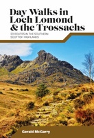 Wandelgids Day Walks Loch Lomond & the Trossachs | Vertebrate Publishing
Day Walks in Loch Lomond & the Trossachs features 20 day-length routes suitable for hillwalkers of all abilities. Researched and written by experienced local walker Gerald McGarry, the walks explore …
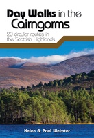 Wandelgids Day Walks in the Cairngorms | Vertebrate Publishing
Day Walks in the Cairngorms features 20 circular routes between 6.3 and 18.4 miles (10.2km and 29.6km) in length, spread across the Cairngorms National Park. Researched and written by local …
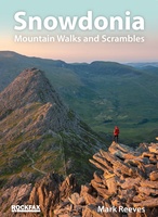 Wandelgids Snowdonia | Rockfax
This new book by Mark Reeves covers all the best mountain walks and scrambles in and around the Snowdonia area. The coverage is done in full Rockfax style with bigh …
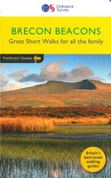 Wandelgids 031 Pathfinder Short Walks Brecon Beacons | Ordnance Survey
Wandelgids van een deel van Wales. Deze gids bevat 20 wandelingen, geschikt voor de hele familie. De bijbehorende kaarten zijn uitstekend: men heeft de topografische kaarten van Ordnance Survey gebruikt …
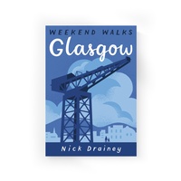 Wandelgids Weekend Walks Glasgow | Pocket Mountains
Few large cities have shown such character and capacity for reinvention as Glasgow. This medieval seat of learning and pilgrimage became the Workshop of the World, famed for its shipbuilding …
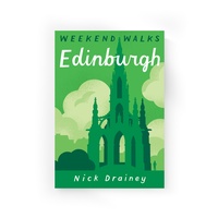 Wandelgids Weekend Walks Edinburgh | Pocket Mountains
Edinburgh is one of the most richly layered historical cities in Europe, with the medieval layout of the Old Town and the neoclassicism of the Georgian New Town attracting visitors …
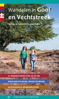 Wandelgids Wandelen in Gooi en Vechtstreek | Gegarandeerd Onregelmatig
In deze wandelgids nemen de ervaren routemakers Sietske de Vet en Ad Snelderwaard je mee naar een van de mooiste en afwisselendste streken van ons land: het Gooi. Gelegen in …
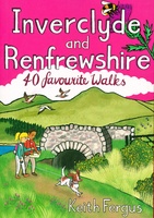 Wandelgids Inverclyde and Renfrewshire | Pocket Mountains
Bordered by the city of Glasgow to the east and the Firth of Clyde to the west, the villages and towns of Inverclyde and Renfrewshire prospered and grew during their …
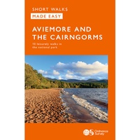 Wandelgids Aviemore and the Cairngorms | Ordnance Survey
Get outside in the Cairngorms, Britain’s largest national park, with ten tried-and-tested accessible walks along the Spey Valley. Discover ancient Caledonian woodland, beautiful lochs and sparkling rivers against a backdrop …
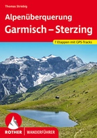 Wandelgids Alpenüberquerung Garmisch - Sterzing | Rother Bergverlag
Zu Fuß über die Alpen - und das auf einfachen Wanderwegen. Die Alpenüberquerung von Garmisch nach Sterzing macht diesen Traum möglich! Auf leichten, aber herrlichen Bergpfaden und in nur sieben …
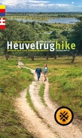 Wandelgids Heuvelrughike | Gegarandeerd Onregelmatig
In vijf etappes wandel je door de geschiedenis van het oer-Nederlandse stuwwallandschap van de Heuvelrug. Welgestelden bouwden er buitenhuizen en Napoleons soldaten bivakkeerden er. Nu wandel je er door uitgestrekte …
★★★★★
Laatste reviews

Ik heb deze kaart gebruikt bij het wandelen van Zuid naar Noord Lanzarote. De kaart blijft zelfs goed bij vouwen en buigen.
★★★★★ door saar 25 november 2024 | Heeft dit artikel gekocht
Goede kaart, waterbestendig
★★★★★ door Bas 25 november 2024 | Heeft dit artikel gekocht
Was een hele goede keuze geweest. Enorm tevreden.
★★★★★ door Annet kriesels-Potters 25 november 2024 | Heeft dit artikel gekocht
zie boven
★★★★★ door Sabine Cohen 25 november 2024 | Heeft dit artikel gekocht

