Mandje Tel: +31503126950 Menu
Winkelwagen
Geen items in winkelwagen
Ga naar winkelwagen

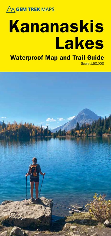
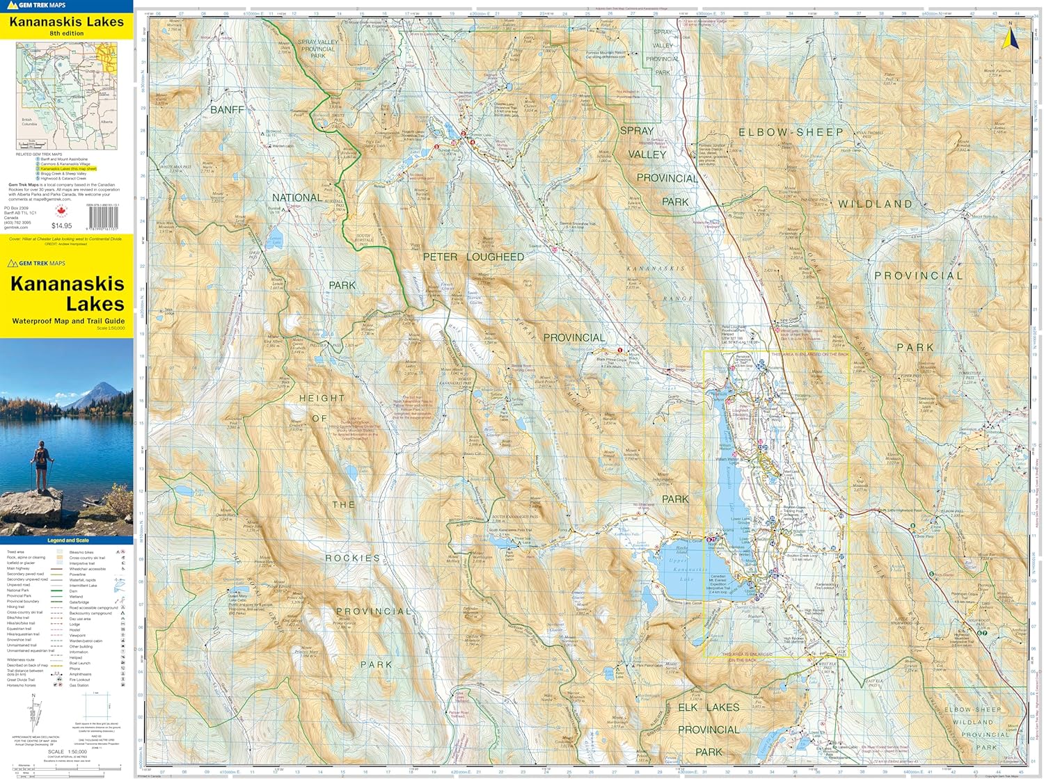
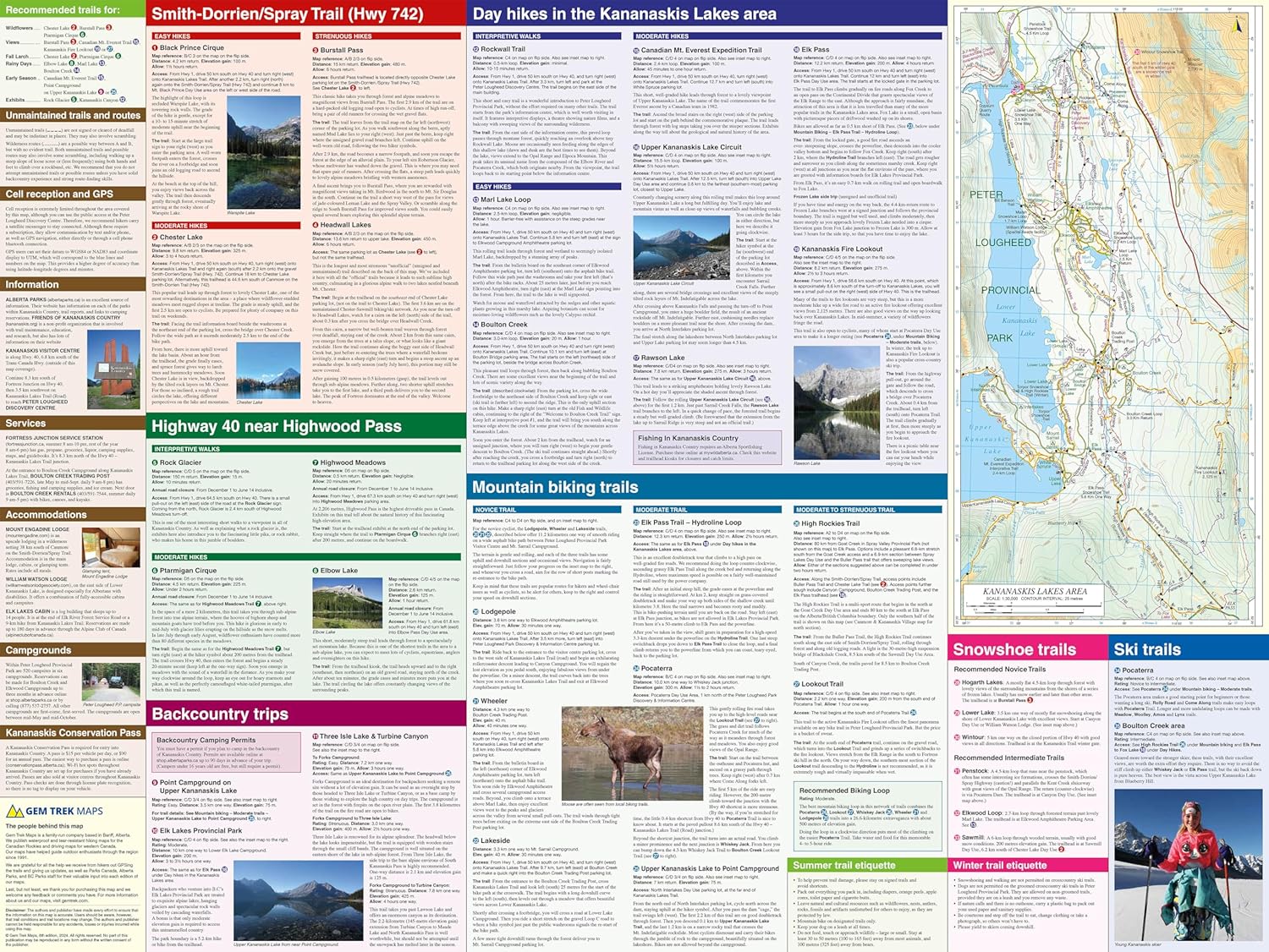
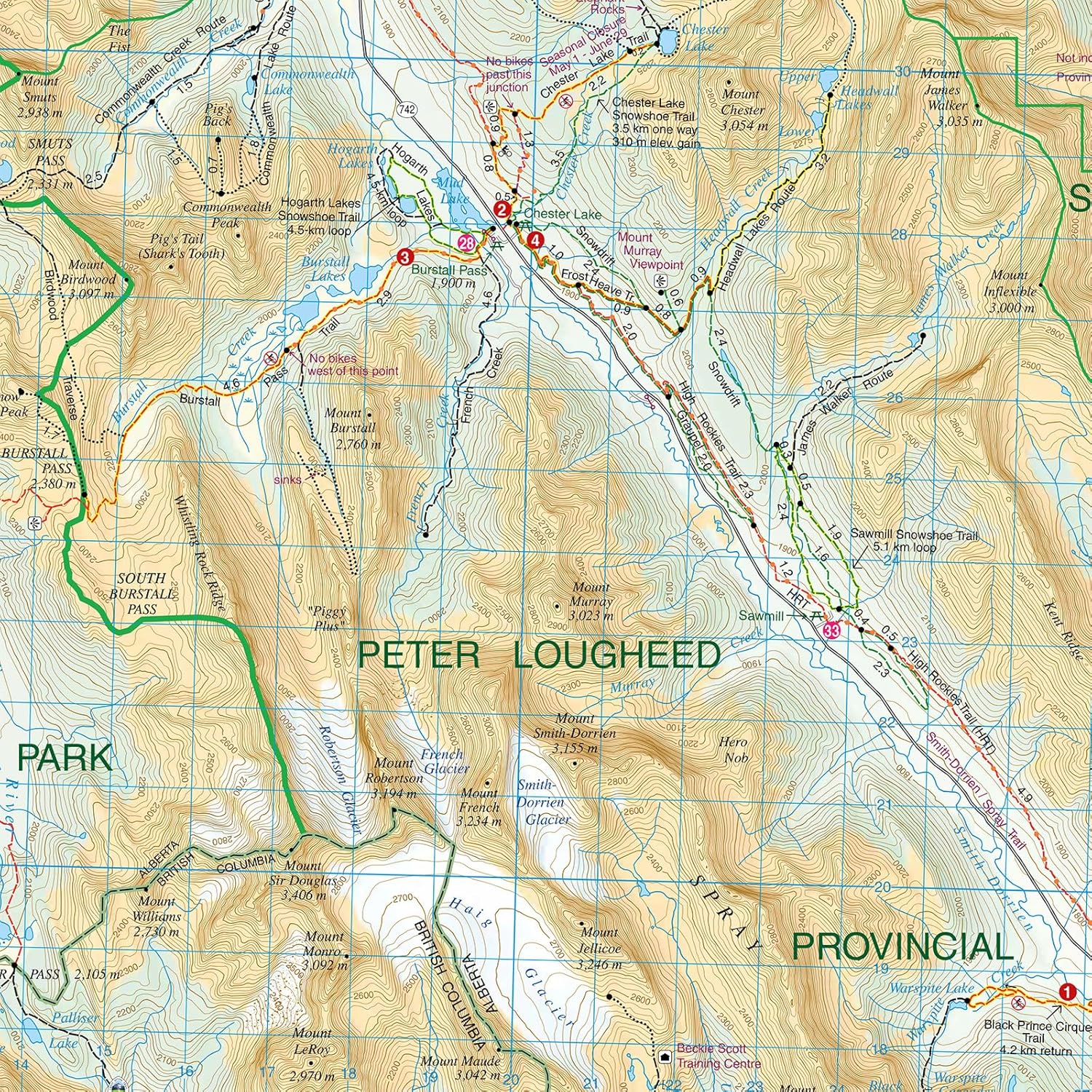
Wandelkaart Kananaskis Lakes | Gem Trek Maps (9781990161131)

  • ISBN / CODE: 9781990161131
  • Editie: 01-04-2024
  • Druk: 8
  • Aantal blz.: 1
  • Schaal: 1:50000
  • Uitgever: Gem Trek Maps
  • Soort: Wandelkaart
  • Serie: Trail maps
  • Taal: Engels
  • Hoogte: 25.0 cm
  • Breedte: 12.0 cm
  • Gewicht: 93.0 g
  • Bindwijze: -
  • Uitvoering: Scheur- en watervast
  • Schrijf als eerste een review
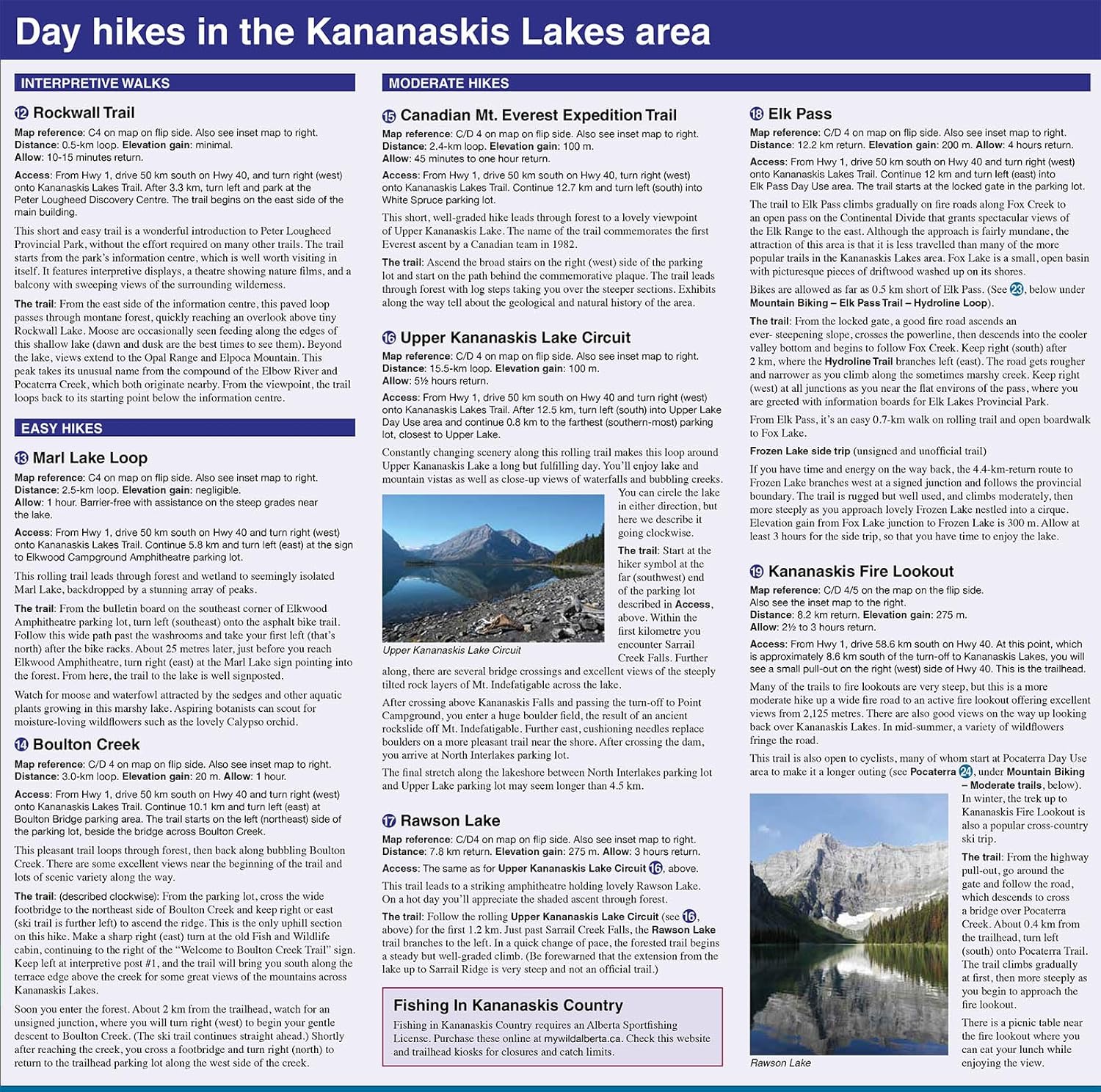
  • 18,95

    Leverbaar in 3 - 5 werkdagen in huis in Belgie Levertijd Nederland Leverbaar in 3 - 5 werkdagen in huis in Nederland Levertijd Belgie

    Gratis verzending in Nederland vanaf €35,-

Beschrijving

Waterproof and tear-resistant hiking and recreation map for the Kananaskis Lakes region of the Canadian Rockies
 
Gem Trek's Kananaskis Lakes Map is designed for hikers and outdoor enthusiasts looking to explore the south-central portion of Kananaskis Country immediately south of our Canmore and Kananaskis Village Map. Whether you are touring along the roads or heading into the backcountry, you'll find the waterproof and tear-resistant Kananaskis Lakes Map to be an invaluable tool.
 
This map features detailed cartography, accurate hiking trails with distances, and details such as logging roads, campgrounds, equestrian routes, picnic areas, and fire lookouts. On the back are descriptions of the most popular hiking trails, as well details of services such as campgrounds and visitor centres.
 
– Map scale: 1:50,000
– Sheet size: 27 x 39 inches
– Folded size: 4.5 x 9.5 inches
 
Map Coverage
 
The Kananaskis Lakes Map covers Peter Lougheed Provincial Park, located off Highway 40 south of the Kananaskis Valley. The northern extent of the map is Opal Day Use area on Highway 40 and Engadine Lodge on the Smith-Dorrien/Spray Trail. The southern portion of the map covers Elk Lakes Provincial Park, in British Columbia.
 
Popular hiking trails on the Kananaskis Lakes Map include Elbow Lake, Chester Lake, Burstall Pass, Headwall Lakes, Kananaskis Lookout, Upper Kananaskis Lake Circuit, Rawson Lake, Elk Lakes, and Ptarmigan Cirque. This edition includes the newly built High Rockies Trail. For adventurous hikers, the remote southern reaches of Banff National Park near Leman Lake are included, as is the trail over Elk Pass to Elk Lakes Provincial Park.
 
A 1:25,000-scale inset map on the back highlights the Kananaskis Lakes area, including extra detail of hiking trails and campgrounds.
 
Map Features
 
The Kananaskis Lakes Map features:
 
- waterproof and tear-resistant paper
- contour lines at 25-metre (80-foot) intervals
- relief shading to better show the topography
- full colour on both sides
- hiking trails with trail names and trail distances marked
- mountain biking and equestrian trails with trail names and distances marked
- hydrology rivers, rapids and waterfalls
- mountain names and all available mountain elevations
- all campgrounds with a handy chart showing campground details
- points of interest and attractions as well as day use areas and highway viewpoints
 

Reviews

Geen reviews gevonden voor dit product.

Schrijf een review

Graag horen wij wat u van dit artikel vindt. Vindt u het goed, leuk, mooi, slecht, lelijk, onbruikbaar of erg handig: schrijf gerust alles op! Het is niet alleen leuk om te doen maar u informeert andere klanten er ook nog mee!