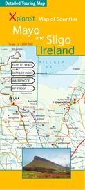
Wegenkaart - landkaart - Fietskaart Mayo en Sligo (Ierland) | Xploreit Maps (9780955265556)
- ISBN / CODE: 9780955265556
- Editie: 30-04-2013
- Druk: 1
- Aantal blz.: 1
- Schaal: 1:100000
- Uitgever: Xploreit Maps
- Soort: Fietskaart, Wegenkaart
- Taal: Engels
- Hoogte: 24.0 cm
- Breedte: 11.0 cm
- Gewicht: 124.0 g
- Bindwijze: -
- Uitvoering: Scheur- en watervast
- Beoordeling: 4,0 ★★★★★ (1 review) Schrijf een review
-
€ 23,95
Levertijd 2 - 4 werkdagen in huis in Nederland Levertijd Belgie
Gratis verzending in Nederland vanaf €35,-
-
Overzicht Fietskaarten Ierland - xploreit maps 1:100.000

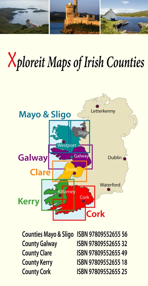
Producten op deze overzichtskaart:
Klik op een product om naar de pagina van dat product te gaan.
Overzichtskaarten
Beschrijving
Mooie geplastificeerde en scheurvaste kaart van Mayo en Sligo met index.
- The Western Way
- The Great Western Greenway
- The Foxford Way
- The Croagh Patrick Heritage Trail
- The Arigna Miner's Way
- The Suck Valley Way
- An outline of the Bangor Trail through Ballycroy National Park is also shown. It is recommended that you call in to the Ballycroy Visitor centre and receive some guidance before attempting parts of this trail.
- Luisburg
- Westport
- Achill (Keel)
- Belmullet
- Some of the Clidfen Cycle Hub loops are also shown.
- The Great Western Greenway
- The Tour De Humbert
- The Sheefry Route (Leenane to Westport)
- Part of the North West Trail
Reviews
Deze kaart is prima om op te fietsen. Hoe langer je ernaar kijkt hoe meer je ziet! Ook de hoogtelijnen zijn erg praktisch om een idee te krijgen waar je die dag mee te maken krijgt qua te overwinnen hoogtes. Minpuntje is dat niet al het water duidelijk zichtbaar is als water op de kaart. De fietsverhuurbedrijven in Ierland gebruiken deze kaarten ook en de kaart is echt scheurbestendig, dat bleek na een week fietsen (en vouwen ) :)
★★★★★ door E. Luken 27 maart 2016Vond u dit een nuttige review? (login om te beoordelen)
Schrijf een review
Graag horen wij wat u van dit artikel vindt. Vindt u het goed, leuk, mooi, slecht, lelijk, onbruikbaar of erg handig: schrijf gerust alles op! Het is niet alleen leuk om te doen maar u informeert andere klanten er ook nog mee!

